

Cameroon: your complete guide to travel, live and invest
Set on the Gulf of Guinea, Cameroon is nicknamed "Africa in miniature." Across nearly 475,000 km², it packs in almost every landscape on the continent: Atlantic beaches, equatorial forests, volcanic highlands, savannahs and Sahelian plains. To this natural diversity it adds a human mosaic of more than 250 ethnic groups and a bilingual heritage (French and English). This dual identity — geographic and cultural — makes it a one-of-a-kind destination in Central Africa.
Logements meublés Cameroon
Hôtels Cameroon
Restaurants Cameroon
Activités Touristiques Cameroon
Locations de Voitures Cameroon
Villes à Explorer
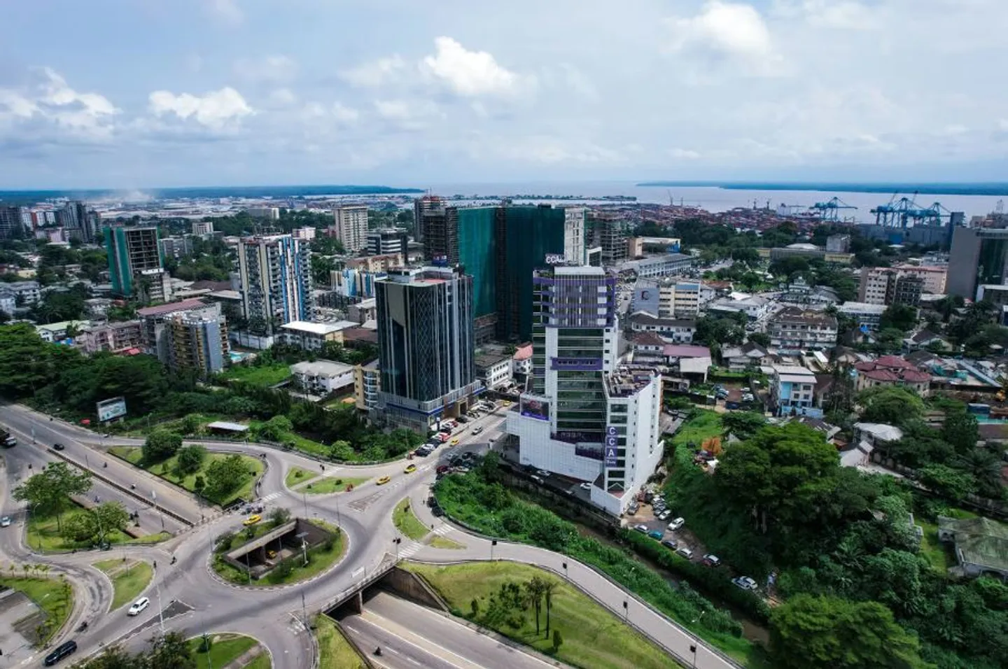
569 Logements Meublés
61 Hôtels
42 Restaurants
10 Voitures de Location
4 Activités Touristiques
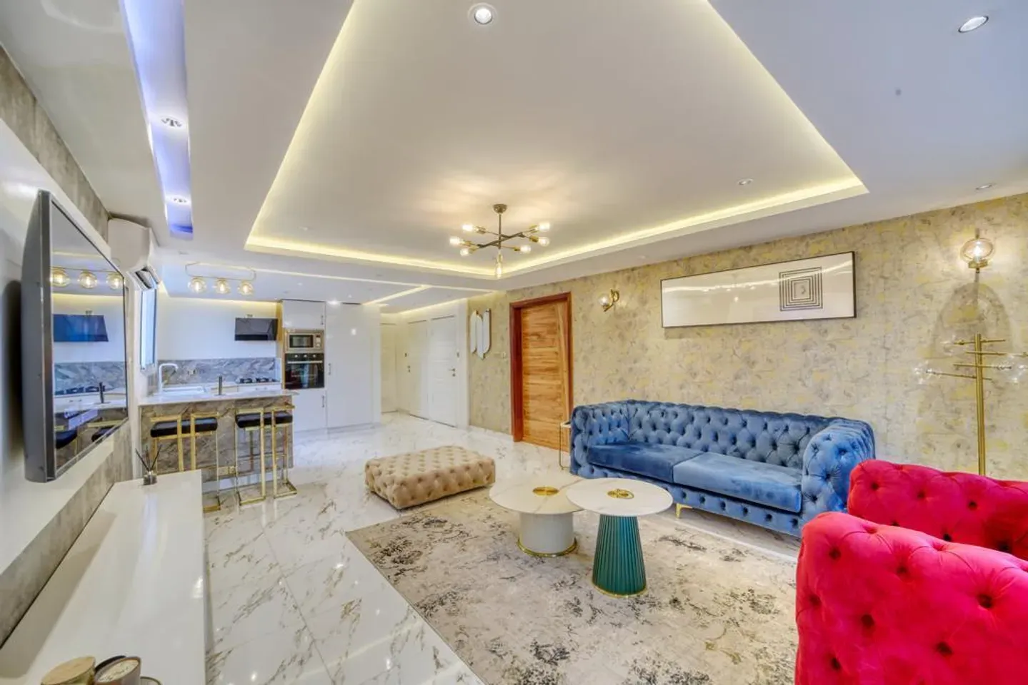
207 Logements Meublés
27 Hôtels
5 Restaurants
0 Voitures de Location
0 Activités Touristiques
Yaoundé
1 Logements Meublés
0 Hôtels
18 Restaurants
0 Voitures de Location
4 Activités Touristiques
Limbé
17 Logements Meublés
0 Hôtels
0 Restaurants
0 Voitures de Location
1 Activités Touristiques
Siga Bonjo
0 Logements Meublés
6 Hôtels
0 Restaurants
0 Voitures de Location
1 Activités Touristiques
A Strategic Position in Central Africa
Cameroon sits at the hinge between West and Central Africa. It shares borders with six countries: Nigeria to the west, Chad to the northeast, the Central African Republic to the east, and Congo, Gabon and Equatorial Guinea to the south. Its Atlantic coastline on the Gulf of Guinea makes it a major commercial gateway for the whole sub-region, with the port of Douala as the main entry point.
Relief and Major Landscapes
The terrain rises gradually from the coast inland. The coastal plain gives way to the central and western highlands, blanketed in fertile volcanic soil. The "Cameroon Line" peaks at Mount Cameroon, the highest point in West and Central Africa at 4,095 metres — an active volcano towering over Buea and the Limbe coast. Further north, the land flattens toward the Bénoué plains before the lunar landscapes of the Mandara Mountains and Rhumsiki.
Climate: From the Equator to the Sahel
Stretching from the 2nd to the 13th parallel north, Cameroon enjoys a wide range of climates. The equatorial south is hot and humid year-round — Douala is one of the wettest cities on the continent. The western highlands enjoy a milder, more pleasant climate. Heading north, the climate turns dry tropical, then distinctly semi-arid in the Far North, with a long dry season.
The Ten Regions
The country is divided into ten regions: Adamawa, Centre, East, Far North, Littoral, North, Northwest, West, South and Southwest. Yaoundé, the political capital, lies in the Centre; Douala, the economic capital and main port, anchors the Littoral. Each region has its own geographic, climatic and cultural identity.
Waters, Coasts and Biodiversity
Cameroon is rich in water: the Sanaga (its longest river), the Wouri running through Douala, the Bénoué and the Nyong cross the country, while Lake Chad borders the far north. The coast alternates between black volcanic-sand beaches (Limbe) and golden ones (Kribi). This mosaic of ecosystems shelters exceptional wildlife, protected in parks such as Waza (elephants, lions, giraffes) and the UNESCO-listed Dja Reserve.
History and Identity
Cameroon's history is shaped by powerful traditional kingdoms, German colonization (1884–1916), then Franco-British rule, and independence in 1960. That heritage lives on today in the country's bilingualism, the Grassfields chiefdoms, the Bamoun kingdom of Foumban, and vibrant celebrations such as the Sawa people's Ngondo festival in Douala.
Must-See Cities
Discover the country's diversity through its main cities, each offering a unique experience:
- Douala: economic powerhouse — the economic capital and largest city, the business heart of Central Africa.
- Yaoundé: political capital — administrative and cultural centre, perched on seven hills.
- Kribi: the seaside gem — a popular resort town known for its fine-sand beaches and the Lobé Falls.
- Limbe: coastal charm — at the foot of Mount Cameroon, famous for its black volcanic-sand beaches.
Accommodation: From Cities to Seaside Resorts
Find the ideal stay for any budget: furnished city studios, upscale apartments, hotels and beachfront villas. On AfriqPnB, search by city, neighbourhood, price and amenities (Wi-Fi, air conditioning, secure parking, backup generator). The most sought-after areas are Bonapriso, Akwa, Bonamoussadi and Bonanjo in Douala, Bastos and Tsinga in Yaoundé, and the seafront in Kribi and Limbe.
Cameroonian Gastronomy
Cameroonian cuisine is among the most renowned in Africa. From lively maquis to fine-dining tables, savour ndolé (bitter leaves with meat or fish), poulet DG, eru, koki, grilled fish and fresh seafood from Kribi. Every city has its own specialities to discover.
Transport and Getting Around
In cities, shared yellow taxis and motorcycle-taxis ("bendskins") are everywhere, while apps like Yango offer a convenient, safer alternative. To explore the country, car rental (often with a driver) is recommended — for example on the Douala–Kribi (≈ 2h) or Douala–Yaoundé (≈ 5h) routes.3
Tourist and Cultural Activities
Cameroon is full of treasures: the Lobé Falls in Kribi, the black-sand beaches of Limbe, the climb up Mount Cameroon, the national parks of Waza, Campo Ma'an and the Dja Reserve, plus the Bamileke and Bamoun chiefdoms. Don't miss unique festivals such as the Ngondo in Douala.
Real Estate and Investment
The Cameroonian property market is dynamic, driven by growth in the major urban hubs. Furnished rentals in Douala, Yaoundé and Kribi offer attractive yields. Before any purchase, it is essential to verify land titles and secure the transaction through a notary or a recognised professional.
FAQ
Affichage de 10 sur 25 FAQ
Où se situe le Cameroun ?
En Afrique centrale, sur le golfe de Guinée, à la jonction entre l'Afrique de l'Ouest et l'Afrique centrale.
Quelle est la superficie du Cameroun ?
Environ 475 000 km², soit une taille comparable à celle de l'Espagne ou de la Suède.
Pourquoi appelle-t-on le Cameroun l'« Afrique en miniature » ?
Parce qu'il réunit la plupart des paysages et climats du continent (côtes, forêts, plateaux, montagnes, savanes, zones semi-arides) ainsi qu'une exceptionnelle diversité culturelle.
Quels pays partagent une frontière avec le Cameroun ?
Six : le Nigéria, le Tchad, la République centrafricaine, le Congo, le Gabon et la Guinée équatoriale.
Quelles sont les capitales du Cameroun ?
Yaoundé est la capitale politique (région du Centre) ; Douala, sur la côte, est la capitale économique.
Combien de régions compte le Cameroun ?
Dix régions administratives, subdivisées en départements et arrondissements.
Quel est le point culminant du Cameroun ?
Le mont Cameroun, volcan actif de 4 095 mètres, plus haut sommet d'Afrique de l'Ouest et centrale.
Quel climat fait-il au Cameroun ?
Équatorial chaud et humide au sud, tempéré sur les hauts plateaux de l'Ouest, tropical sec à semi-aride dans le nord.
Quels sont les principaux fleuves du Cameroun ?
La Sanaga (le plus long), le Wouri (qui traverse Douala), la Bénoué au nord et le Nyong au sud.
Quelle est la population du Cameroun ?
Environ 30,6 millions d'habitants, avec une population jeune et de plus en plus urbaine.